|
|
Maps and Cartography
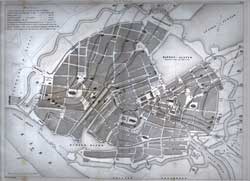
Item #: 81288 Plan Von Hamburg; Plan de Hambourg. (1846)Plan of Hamburg showing streets, rivers, churches, public buildings, etc. $150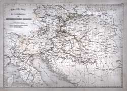
Item #: 81289 Uebersichts-Karte des Eisenbahnnetzes Oesterreichischen-Monarchie (1847)Map of railways of Austro-Hungarian Monarchy, 1847 $150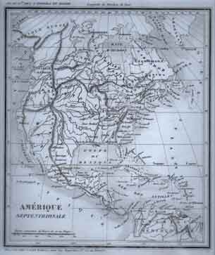
Item #: 81299 Amerique Septentrionale (circa 1835)Map of North America showing cities and principal mountain ranges. $100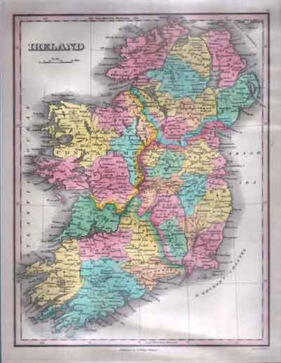
Item #: 90157 Map of Ireland. (1827)By: Young and Delleker, sc. A. Finley, Philadelphia Hand-colored lithograph. 30 x 24 cm in the plate. Signed in the plate, lower margin. Fine. Matted, sealed. $425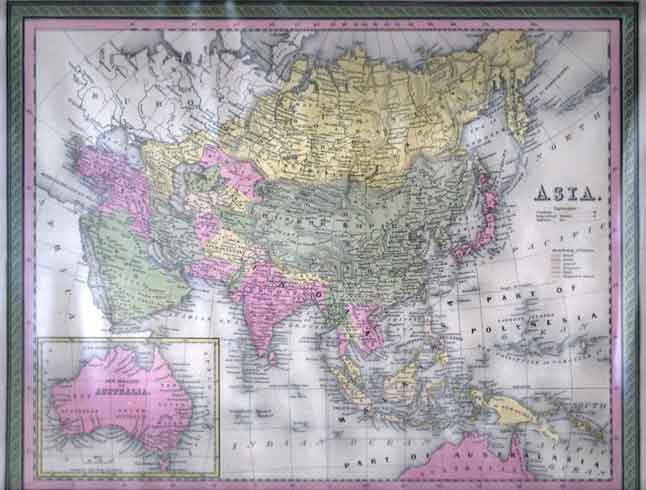
Item #: 90165 Map of Asia. (ca. 1848.)By: Thomas Cowperthwait Hand-colored lithograph. 31 x 39 cm in the plate. Titled in the plate. Australia inset. Fine. Matted, sealed. $275
|