|
|
Maps and Cartography - USA
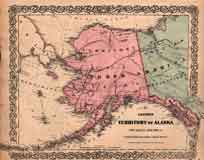
Item #: 100030 Colton’s Territory of Alaska (Russian America). Ceded by Russia to the United States. (1868)By: G. W. & C. B. Colton Original hand-colored steel engraving. $250Item #: 100036 Colton’s Map of the United States, The Canadas & c. Showing the Railroads, Canals & Stage Roads, With Distances from Place to Place (1854)Steel engraved pocket map with original hand coloring printed on thin “onion skin” paper. States and Territories colored in... $2,350Item #: 110067 Mitchell's Map of New York City, circa 1847 (1848)By: S. Augustus Mitchell A detailed map of the City of New York circa, 1847. Detail of streets, hotels, churches, and political wards. Map extends from... $625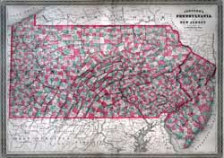
Item #: 130526 Johnson's Map of Pennsylvania and New Jersey by A.J. Johnson and New York (1863)Fine hand-colored map of Pennsylvania and New Jersey delineating townships and county borders. $240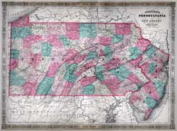
Item #: 81037 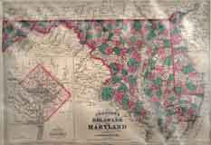
Item #: 81056 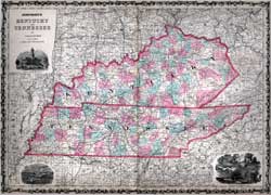
Item #: 81064 Johnson's Map of Kentucky and Tennessee (1863)$225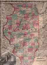
Item #: 81067 Johnson's Map of Illinois (1862)$225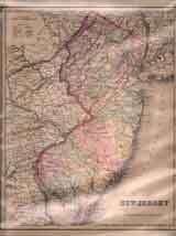
Item #: 81094 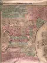
Item #: 81095 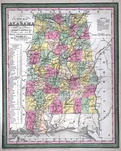
Item #: 81097 Map of Alabama (1850)$300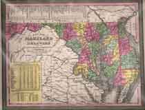
Item #: 81099 Map of Maryland and Delaware (1850)$395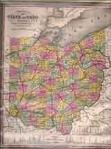
Item #: 81101 Map of State of Ohio (1850)$295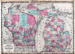
Item #: 81104 Johnson’s Map of Michigan and Wisconsin (1862)By: Johnson & Ward Double page map of Michigan and Wisconsin. Handcolored, with counties identified. $235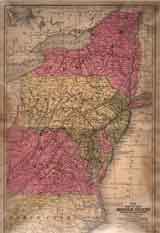
Item #: 81120 
Item #: 81121 Map of The Middle States and Maryland & Virginia (1830)Map of the Middle States of the US circa 1830, notable for showing West Virginia as part of Virginia. $325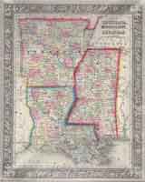
Item #: 81136 Map of Louisiana, Mississippi and Arkansas (1860)By: S. Augusta Mitchell Jr. Original, hand-colored steel-engraving. 35.5x28.5 cm (13.5x11”). $235
Item #: 81191
|