|
|
Maps and Cartography
Item #: 81154 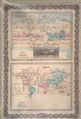
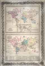
Item #: 81155 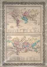
Item #: 81156 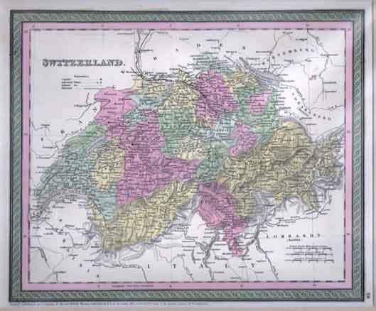
Item #: 81157 Map of Switzerland (1850)Hand colored map of Switzerland showing cities, towns, rivers, lakes, mountain ranges, etc. $260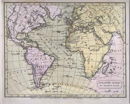
Item #: 81160 Map of Atlantic Ocean (1830)$260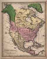
Item #: 81162 Map of North America (1830)$240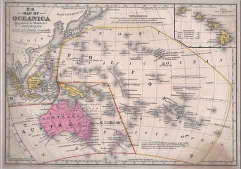
Item #: 81171 Map of Oceania (no.31) (1852)Map showing the Sandwich Islands, Australasia and South East Asia and Polynesia. $110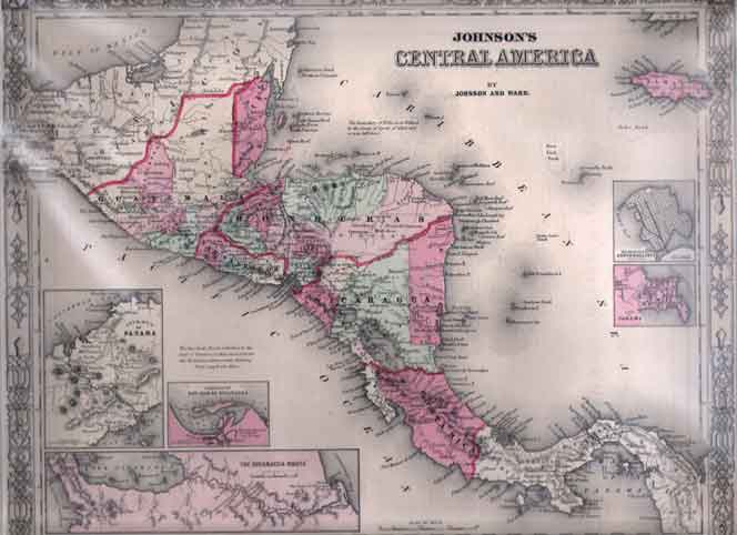
Item #: 81179 Map of Central America (ca. 1838)$220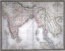
Item #: 81181 Carte Generale des Indes Orientales (1855)By: Louis Antoine A wonderful steel engraved map hand-colored in outline showing boundries, rivers, cities, towns, rivers, mountain ranges, etc. ... $260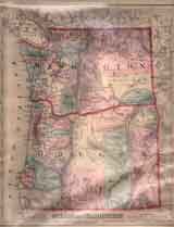
Item #: 81186 Map of Oregon and Washington (1874)$150
Item #: 81191 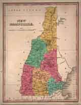
Item #: 81194 Map of New Hampshire (1828)$360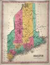
Item #: 81197 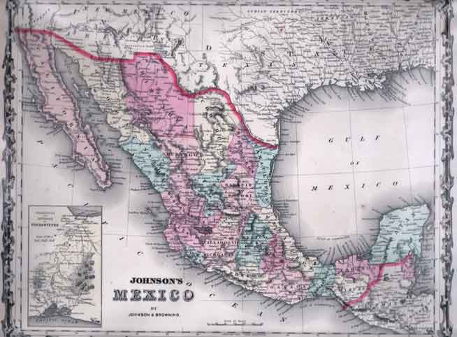
Item #: 81207 Map of Mexico- Johnson & Browning (1862)$235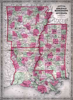
Item #: 81211 Map of Arkansas, Mississippi and Louisana- A.J. Johnson (ca. 1863)$225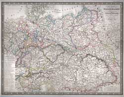
Item #: 81223 Carte Generale de L'Allemagne Comprenant L’Assemle des Etats de L’Europe Centrale. (1855)By: Louis Antoine A wonderful steel engraved map hand-colored in outline showing boundries, rivers, cities, towns, rivers, mountain ranges, etc. ... $260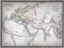
Item #: 81224 Carte Generale du Monde Ancien (1854)By: Louis Antoine A wonderful steel engraved map hand-colored in outline showing boundries, rivers, cities, towns, rivers, mountain ranges, etc. ... $260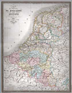
Item #: 81225 Carte Des Royaumes De Hollande et de Belgique (1855)By: Louis Antoine A wonderful steel engraved map hand-colored in outline showing boundries, rivers, cities, towns, rivers, mountain ranges, etc. ... $260
|