|
|
Maps and Cartography
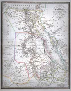
Item #: 81227 Carte du Cours du Nil, Comprenant L' Egypte, La Numie, L’Abyssinie et La Mer Rouge (1855)By: Louis Antoine A wonderful steel engraved map hand-colored in outline showing boundries, rivers, cities, towns, rivers, mountain ranges, etc. ... $250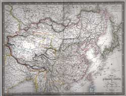
Item #: 81228 Carte de L'Empire Chinois et Du Japon (1855)By: Louis Antoine A wonderful steel engraved map hand-colored in outline showing boundries, rivers, cities, towns, rivers, mountain ranges, etc. ... $250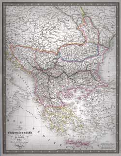
Item #: 81232 Carte de la Turquie D'Europe et de La Grece. (1855)By: Louis Antoine A wonderful steel engraved map hand-colored in outline showing boundries, rivers, cities, towns, rivers, mountain ranges, etc. ... $260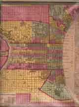
Item #: 81239 Philadelphia (1850)$325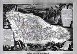
Item #: 81243 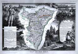
Item #: 81244 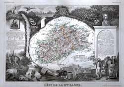
Item #: 81245 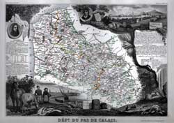
Item #: 81246 
Item #: 81247 
Item #: 81248 
Item #: 81249 
Item #: 81250 
Item #: 81251 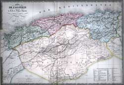
Item #: 81254 Carte De L'Algerie Comprenaut le Tell et le Sahara Algerien (1855)A wonderful steel engraved map hand-colored in outline showing boundries, rivers, cities, towns, rivers, mountain ranges, etc. ... $250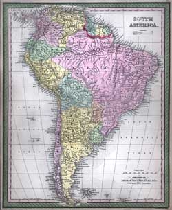
Item #: 81284 Map of South America (1850)$295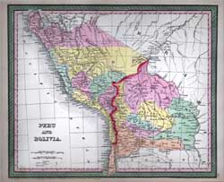
Item #: 81285 Map of Peru and Bolivia (1850)$180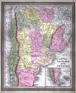
Item #: 81286 Map of Chili La Plata and Uruguay (1850)$225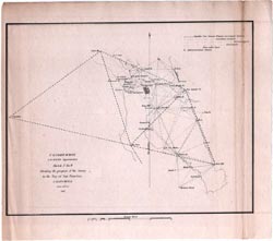
Item #: 81287 U.S. Coastal Survey Sketch J No. 9. Showing the progress of the Survey in the Bay of San Francisco California (1851)Page extracted from U.S. Coast Survey published in 1851 by the United States Government. Shows navigational landmarks and... $95
|