|
|
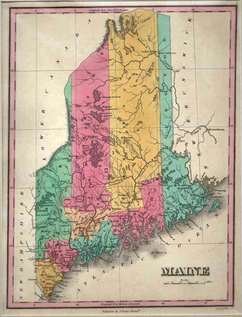
Maps and Cartography - USA - New England
Map of Maine (1828)By: Young & Delleker Size: 11.88 H x 9.00 W inches Source: A New American Atlas, Designed Principally To Illustrate The Geography Of The United States Of North America; In Which Every Country In Each State And Territory Of The Union Is Accurately Delineated, As Far As At Present Known: The Whole Compiled From The Latest And Most Authentic Information. Philadelphia: Published By Anthony Finley, At The North-East Corner Of Chestnut And Fourth Streets. 1826. Item #: 81197 $375 |