|
|
Architecture and Design - German
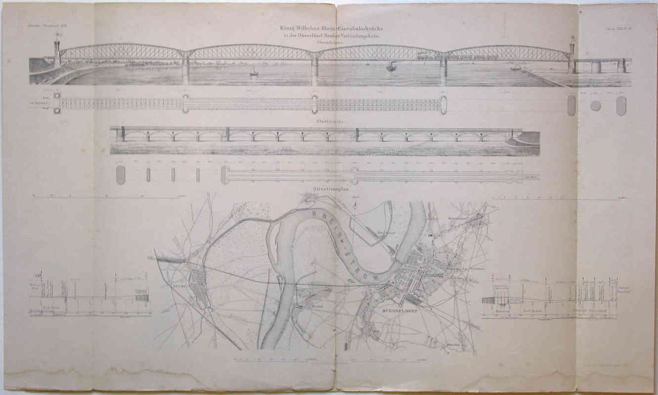
Map of Konig Wilhemls Rhein Eisenbahnbrucke in der Dusseldorf-Neufser Verbindungsbahn. (1872)By: Berlin : Ernst & Korn W. Loeillot (lith.) Size: 18.11 H x 30.91 W inches Item #: 90168 Original lithograph. 46 x 78.5 cm. Titled in the plate. Excellent example of public planning at the outset of the German Empire. Elevations of the two main RR bridges over the Rhein in Duesseldorf; includes map of the town and surrounding country, illustrating position of the bridges. Book XXII, pl. 28 of Zeitschrift für Bauwesen, Verlag v. Ernst & Korn in Berlin, 1872. Quad-folded, with three vertical creases; center crease is torn through top and bottom. Exhibits moisture damage, foxing; some chips and tears. Fair. $100 |