|
|
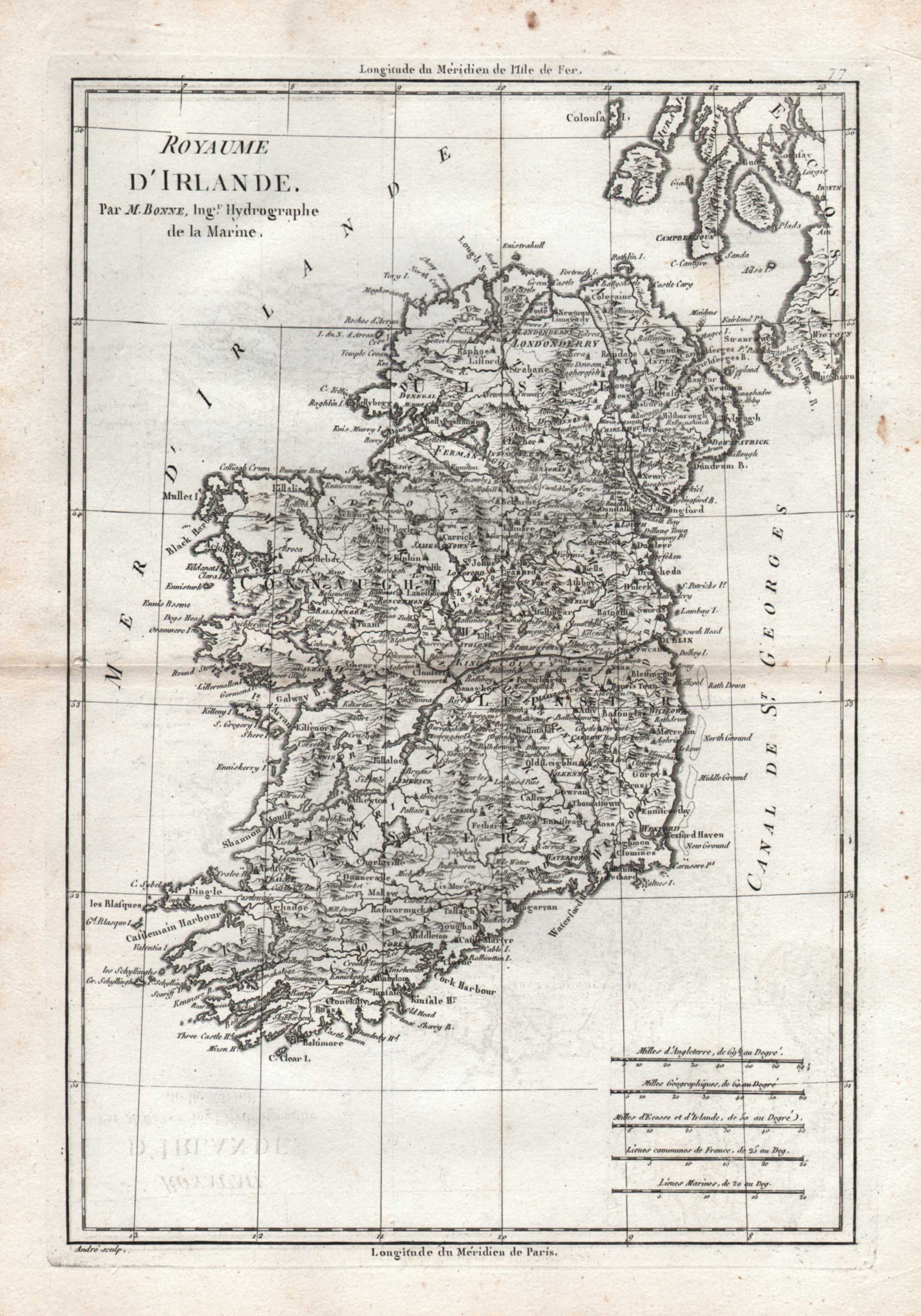
Maps and Cartography - Ireland
Royaume D’Irlande Par M. Bonne, Ing Hydrographe de la Marine (ca. 1787)By: Andre - M. Bonne Size: 16.50 H x 11.50 W inches Source: Bonne’s Atlas Item #: 130856 Charming map of Ireland published in France by one of the leading cartographers of his time, M. Bonne, Hydrographic Engineer to the King. Towns, rivers, cities, lakes, etc. identified with their English names. $300 |